Tuleyome is a 501(c)(3) nonprofit conservation organization based in Woodland, California. The word “Tuleyome” (pronounced too-lee-OME-ee) is a Lake Miwok Indian word that means “deep home place”. And that term “deep home place” exemplifies our deep connection to our environment, our communities and our regional public lands.
EVENTS
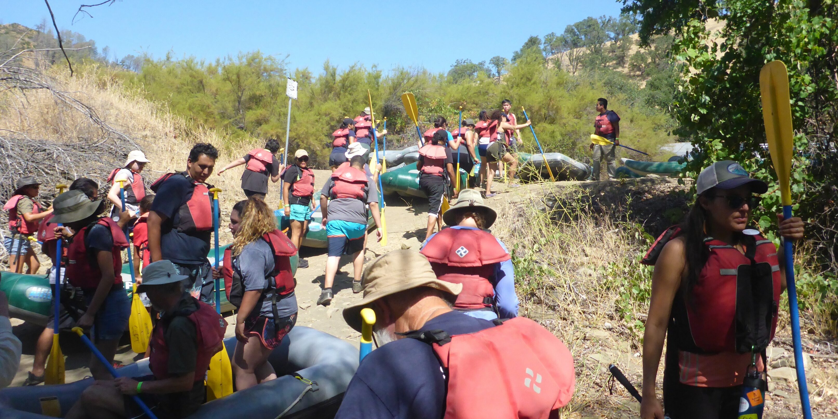
Tuleyome works in the Northern Inner Coast Range of California and the Berryessa Snow Mountain National Monument. Join us on our hikes, trail building work, and habitat restoration projects - or attend a lecture!
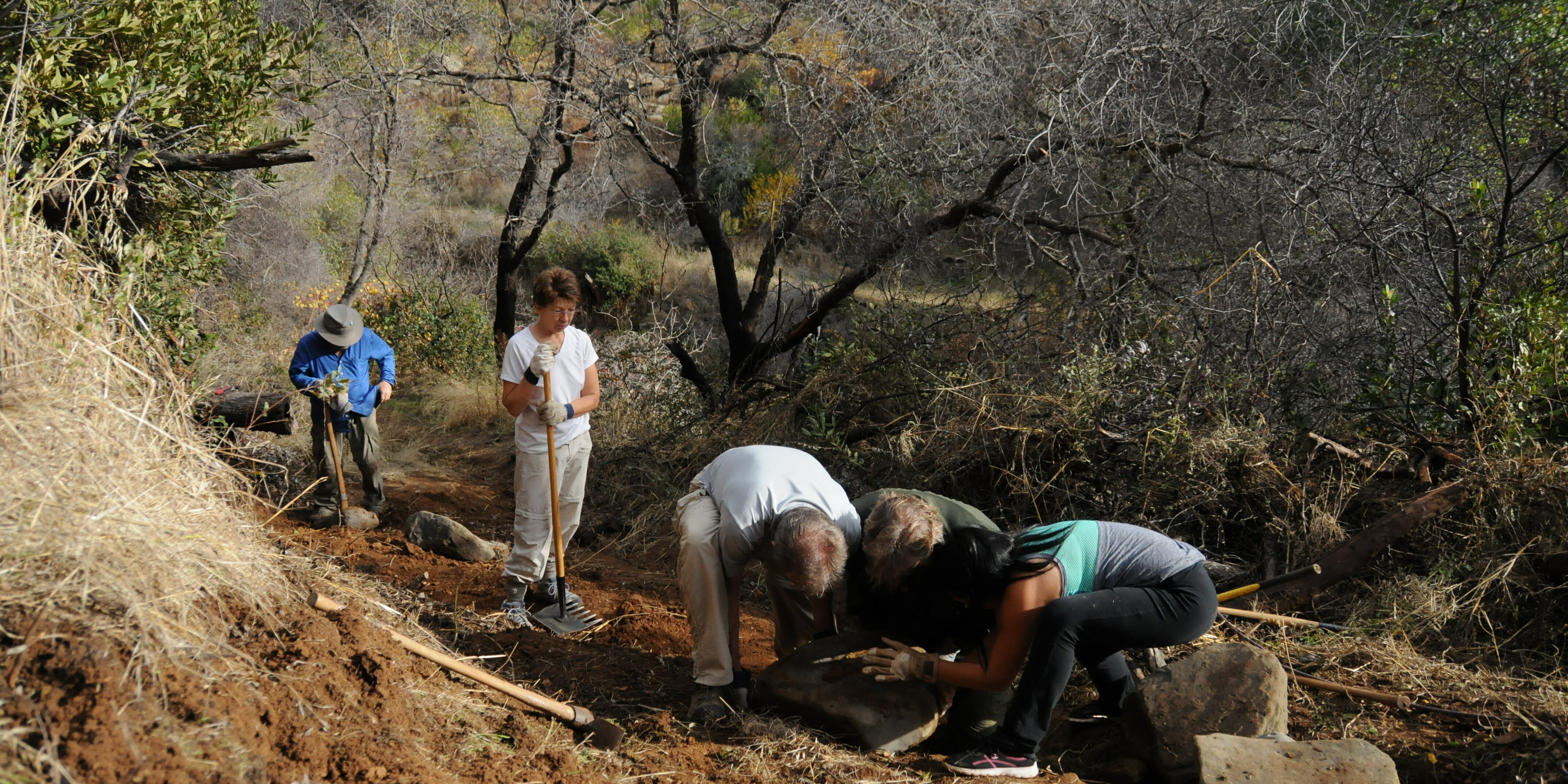
Volunteer
Volunteers are the heart of Tuleyome, without you we would not be able to get so much great work done. We have LOTS of indoor and outdoor volunteer opportunities available, so consider signing up as a volunteer today. Thank you!
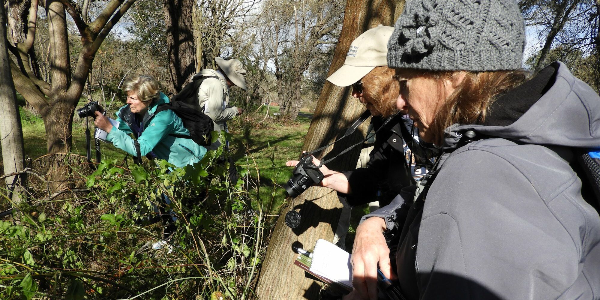
Become a Certified Naturalist
Tuleyome launched its Certified California Naturalist program in partnership with the University of California and the Woodland Public Library in early 2018. The program was so well received that we've expanded it and now offer two course each year. No advanced degrees or previous naturalist experience are required.
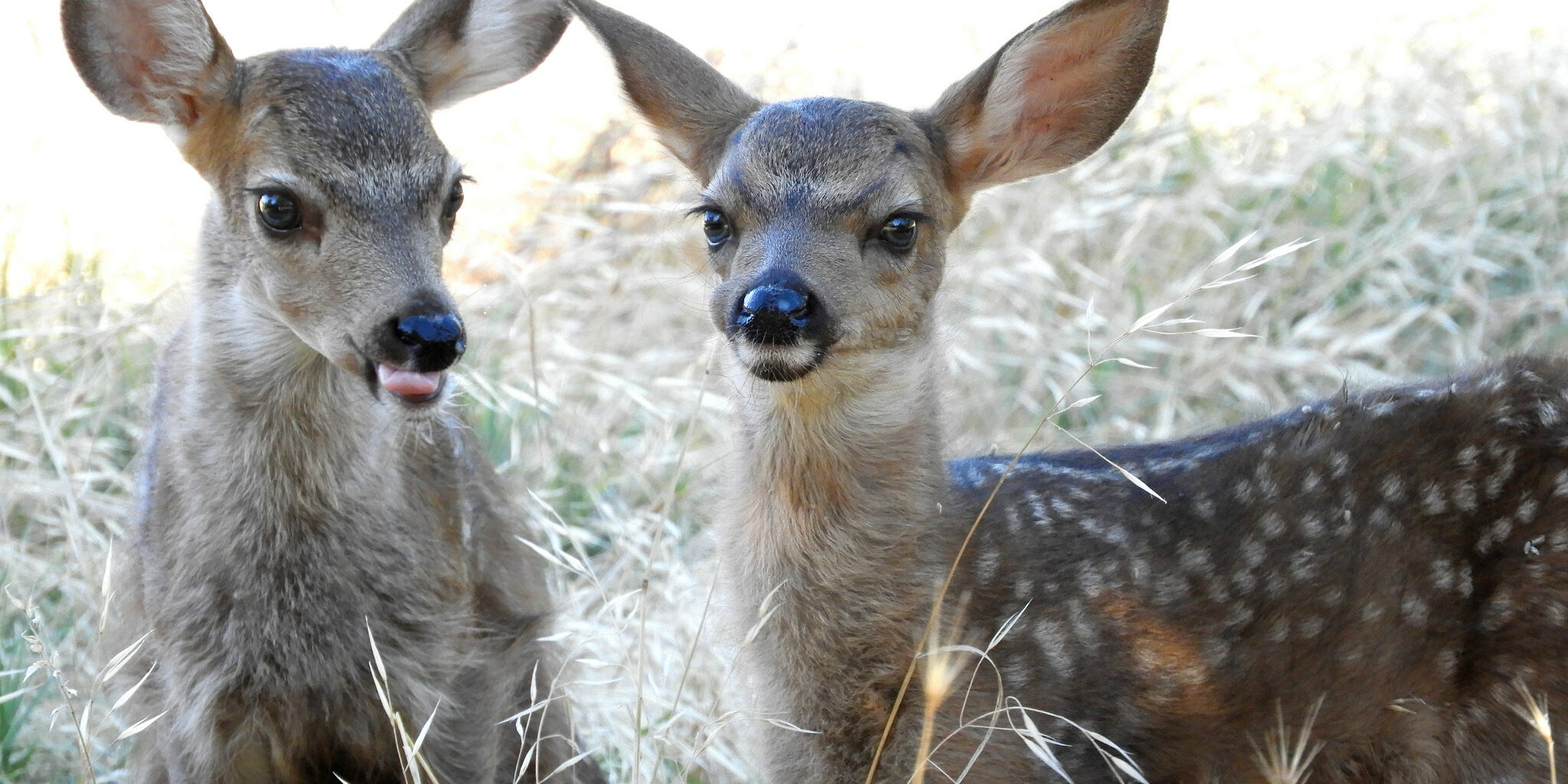
Post-Wildfire Habitat Restoration with the Sacramento Zoo
The Sacramento Zoo awarded Tuleyome two grants in 2018 to start an in situ wildlife study and restore vital wildlife habitat in the Berryessa Snow Mountain National Monument. Find out how you can take part in these activities!


