Oversight information
- This trail is overseen by Yolo County and the Bureau of Land Management (BLM), Ukiah Office.
- Camping is allowed along the trail.
- Campfires require a valid fire permit from Tolo county and the BLM.
For the most current information on the trail's condition, closures, and fire restrictions contact Yolo County and the BLM
How to Get There
From Yolo County, Woodland and Davis, take Highway 16 up the Capay Valley. Once you pass the town of Rumsey, you begin to enter the Cache Creek Canyon. The road will narrow and you will be driving with the creek on one side and the canyon walls on the other. When you see the Cache Creek Regional Park, Lower Site sign on your left, turn into the parking area. This is one of three sites overseen by Yolo County as part of the Cache Creek Regional Park system. Walk down Rayhouse Road / Road 40, past the gate and down to the low-water bridge.
The Hike Itself
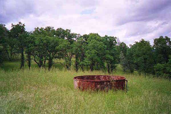
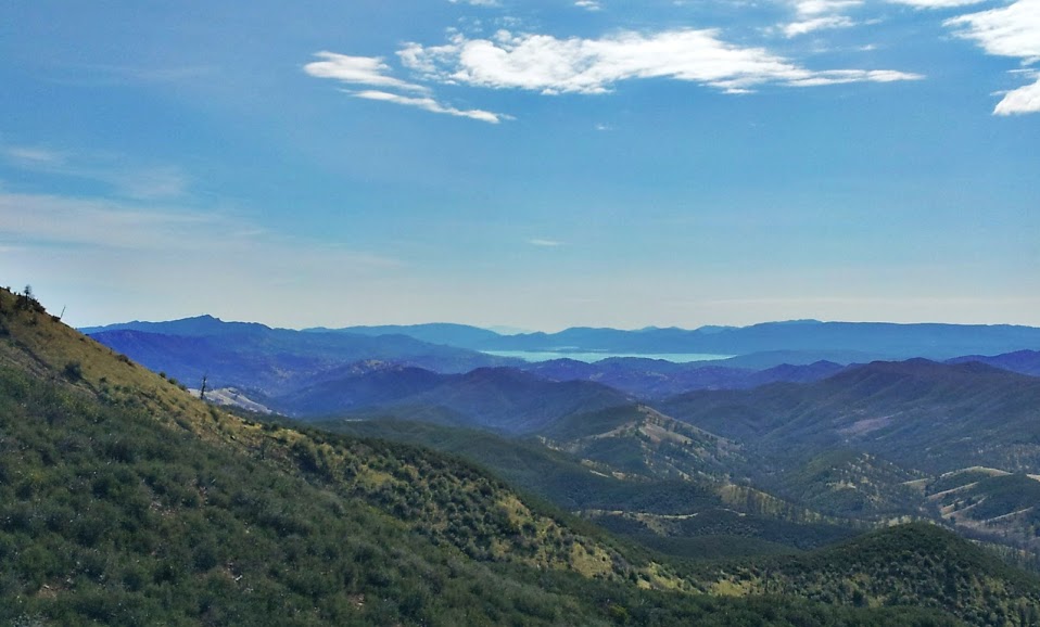
You start out by crossing the low water bridge, and turning right, following the road. Follow the road the entire way up to the ridgeline. Along the way, you will be treated to gorgeous views of the Blue Ridge, Fiske Creek Canyon, and Glascock Mountain. The trail winds through blue oak woodland, chaparral and grassland. At the top, you will be treated to 360 degree views, and a view of the entire Blue Ridge. Spectacular.
It’s 5 miles from the low-water bridge to the Four Corners at the top of the mountain. From the 4-way intersection of Lang’s Peak Road, Fiske Creek Road, and Rayhouse Road, you have the choice of turning back, hiking down to Cache Creek along Lang’s Peak Road, hiking to Davis Creek reservoir, or hiking Fiske Creek road to the southern Blue Ridge Trail hike. All of these points are far away, so it is a two day adventure to continue on.
Availability
- Fitness: easy
- Visible Signage:
- Parking:
- Horses:
- Pets:
- Restrooms:
- Mountain Biking:
- Overnight Camping:


