oversight information
- This trail is overseen by the Bureau of Land Management (BLM) Ukiah office.
- Camping is allowed on the trail
- Fires are not allowed without a fire permit from the BLM
For the most current information on the trail's condition, closures, and fire restrictions contact the BLM.
How to Get There
From Yolo County, Woodland and Davis, take Highway 16 through the Capay Valley. Drive a mile or two past the confluence of Bear Creek and Cache Creek. Be on the lookout for a pullout on the south side of the road, (the side closest to Bear Creek.) The pull-out is located between Colusa County post-mile markers 6.00 and 5.84. Park there to begin your hike across the road.
As you drive up the Capay Valley, just past the Indian casino, be sure to look to your left and try to pick out Berryessa Peak. We completed the “marathon level” Berryessa Peak Trail in 2014, opening up access to the peak which had been land-locked for over 150 years. Trail builder Andrew Fulks received a national Trail Worker award from American Trails for this accomplishment.
The Hike Itself
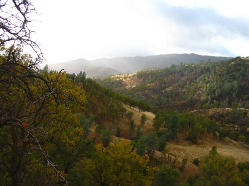
Cross Highway 16 and enter the public lands through the small opening in the gate on the other side of the road. Billy’s Hill is pretty obvious, since it is the oak and grassland covered hill right in front of you. The best way up is to zig-zag your way up the side of the hill, until you reach an old fire road that will take you the rest of the way (see the map link, below). Once you make it to the fire road, follow it all the way to the top of Billy’s Hill, then up to Cortina Ridge.
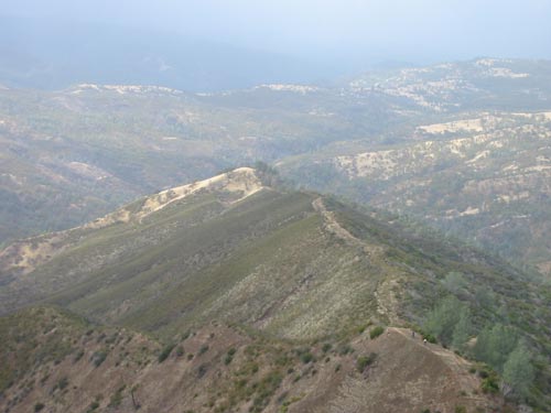
Once you are at Cortina Ridge, you will find a fire road that traverses the entire length of the ridge. If you head South, you can hike all the way to Glascock Mountain, for fabulous views of Cache Creek Canyon and Fiske Peak.
Availability
- Fitness: difficult
- Visible Signage:
- Parking:
- Horses:
- Pets:
- Restrooms:
- Mountain Biking:
- Overnight Camping:


