Monumental Questions - How Significant Locations Get Named

Kristie Ehrhardt • December 5, 2024

Have you ever wondered how significant places or features like Molok Luyuk or Cache Creek get their names?


Way back in 1890’s the United States developed a need for a Federal agency that would help keep the names of geographic features and significant places organized and unified. This newly formed agency was called the United States Board on Geographic Names (BGN) and was made official by an Executive Order signed by President Benjamin Harrison in 1890. The main purpose of the BGN then and now is to maintain uniform geographic name usage throughout the Federal Government. The BGN is composed of representatives from various Federal agencies that are associated with geographic information, population, ecology and management of public lands. The Secretary of the Interior together with the BGN publicly publish the official names for geographic features with present and locatable attributes. The agencies also regulate principles, policies and procedures governing the use of domestic and foreign names, Antarctic names and undersea feature names. The BGN works with Federal, State, local and Tribal governments to provide a channel for unvarying geographic names and provides access to their database for domestic and foreign names as well as Antarctic and Undersea feature names.


The BGN’s first big task was managing the geographic feature names during the flood of settlers into the American West following the Civil War. Multiple spellings, contradictions and inconsistencies created a substantial problem for surveyors, map makers and even scientists. Once the BGN was established it had authority to determine final names and spellings and decisions were final and binding to all agencies of the Federal government. The BGN does not regulate but standardizes names; their bylaws have been in place since 1948 and are revised when necessary. After demonstrating the benefits of having standardized names for decades, now more than 50 nations have followed suit and today have some type of national names authority. The need for standardized names may seem obvious for some fields such as mapping and charting but other agencies such as population, ecology, management of public and offshore lands, publishing, foreign affairs and even national security also utilize the BGN’s work.


Today the responsibility of domestic geographic names is the responsibility of the BGN’s Domestic Names Committee (DNC) with support from the United States Geological Survey (USGS). The DNC consists of representatives from the Department of the Interior, Commerce, Agriculture, Defense, Homeland Security, the United States Postal Service, the Government Publishing Office and the Library of Congress. They meet monthly to finalize names and review hundreds of proposals for new names or name edits annually from Tribal, Federal, State, local and private citizens. New names are never proposed by the DNC, their task is to mediate name controversies and to make decisions on the final outcome.


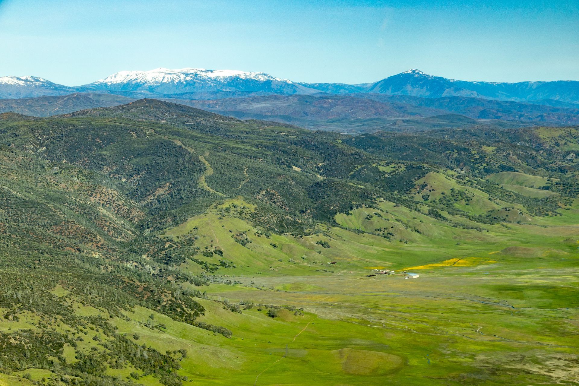
The agency is currently working on changing derogatory and offensive names throughout the United States. If you’d like to explore how to suggest a new name or a name edit, check out this site. The Coalition for Outdoor Renaming and Education (CORE) is a coalition of concerned individuals and organizations that are dedicated to “restoring justice through an inclusive process of reconciliation by the remaining of offensive places”, CORE 2024. To learn more about CORE visit their website. And yes! The DNC under the BGN has already updated the database to show that Molok Luyuk is the official name for the new addition to our favorite National Monument!


-Kristie Ehrhardt (kehrhardt@tuleyome.org)

Tuleyome Land Conservation Program Manager

RECENT ARTICLES

June 5, 2025
We extend our thanks and gratitude to Stephen McCord as he ends his tenure on the Tuleyome Board of Directors. Stephen has applied his energy and expertise to fulfilling Tuleyome’s mission for many years. In 2016 he managed the first Tuleyome mercury mine remediation project at the Corona/Twin Peaks Mine. He followed that with work on Tuleyome trail projects in the Knoxville Off-Highway Vehicle Area, riding all the trails on his own adventure motorcycle. As a Tuleyome representative, he’s taken many community members on hikes in Berryessa Snow Mountain National Monument and the surrounding areas. Stephen has over 20 years of environmental engineering experience, in California and worldwide. He has overseen extensive projects in water quality field work, management and cleanup, and has applied his knowledge to policy development, analysis and technical support. In short, Stephen is a consummate environmental and water engineer, and he brought his expertise to Tuleyome’s many projects. In 2023 Stephen joined the Board of Directors and agreed to serve as President. He applied his supreme organizational skills to managing board duties and activities. He also brought an optimism to the board about what can be accomplished with foresight, good planning and collaboration. Stephen has been a tireless advocate for Tuleyome, keeping the board on task even while handling numerous other professional responsibilities. Fortunately, although he is stepping down from the board, he will continue to support Tuleyome’s mission in many other ways. -Kim Longworth, Lyndsay Dawkins and Bill Grabert Volunteer Tuleyome Board members 
By Geoff Benn June 5, 2025
A river otter making its way up the slide. Looking to take a break with some cute video content? This month we placed game cameras looking into an otter slide at Conaway Ranch. Otter slides are paths worn into riverbanks by repeated use by otters and other animals. The slides at Conaway are quite active, so we’ve been able to get some great footage, including otters, beavers, racoons, snakes, and more! 
By Bryan Pride June 5, 2025
Since April 2024, America's public lands had something they'd never had before: a rule that treated conservation as equal to all other land uses. The Public Lands Rule , introduced by the Biden Administration, formally recognized conservation as a legitimate practice of multiple use, putting conservation on equal footing with recreation, grazing, and resource extraction. Built on decades of management experience and guided by science, data, and Indigenous knowledge, it gives land managers tools to maintain healthy ecosystems while supporting all the diverse ways we depend on public lands. It acknowledges a simple truth: conservation must be valued equally to all other land uses. Now there is growing pressure to rescind it. Why This Matters The environment around us is free-flowing, it's not confined to state borders or county lines. When mining operations contaminate watersheds in Northern California, it impacts the local businesses who depend on healthy rivers downstream, the agricultural communities that rely on clean water, and the families who've been camping along those waterways for generations. The Public Lands Rule recognized this interconnected reality and gave land managers agency to address problems before they spread across California's diverse landscapes, protecting the long-term viability of grazing allotments, recreation areas, and rural livelihoods that all depend on healthy public lands. This interconnected reality is exactly why the Public Lands Rule matters. The Rule is designed to ensure that the places we depend on, whether for weekend camping trips, or cattle grazing, stay healthy enough to support these uses long-term. When an area becomes overgrazed and doesn't recover, access to those grazing allotments is permanently lost, reducing ranchers' ability to maintain their livelihoods and harming local food production. Poor use or overuse of our public lands creates ripples of negative impact that hurt all communities. The Rule's main objective is simple but revolutionary: make sure our public lands stay productive for everyone who depends on them, rather than degrade them. The Rule created practical tools that built in accountability and prioritized future generations' access to healthy public lands. Restoration Leases : 10-year agreements allowing a variety of entities such as, conservation groups, tribes, and nonprofits to restore damaged landscapes—fires restoration, restoring wildlife habitats and cleaning up abandoned mining sites that currently scar some of our most beautiful public lands. Mitigation Leases : A tool that allows land users or other entities to offset impacts from their activities over specified time periods, creating partnerships between different land users and conservation groups to address environmental impacts on public lands. Strengthened Protection for Critical Areas : Clearer guidelines for protecting Areas of Critical Environmental Concern—the most special and fragile places that often provide the best wildlife viewing, the cleanest water sources, the most pristine camping experiences and the richest biodiversity. The False Dichotomy: Multiple Use vs. Conservation The main argument being used to encourage the rollback of the Public Lands Rule is " multiple use ", the legal principle requiring Bureau of Land Management (BLM) lands to serve many different purposes. The current Administration claims the Public Lands Rule hinders multiple uses of public lands. Why? The Rule calls for restoring degraded areas and making science based decisions. Contrary to their actual meaning, the current Administration interprets "restoring" and "science based decisions" as "locking up land". Land locking, where access gets completely cut off, is a real concern in some areas—it prevents both recreation and grazing. However, land locking is not what the Public Lands Rule promotes. In reality, it is promoting land healing. Take grazing for example. The Rule empowers BLM to use restoration leases in conjunction with existing grazing permittees to restore degraded rangeland. Monitoring who is grazing where and the number of permits issued for specific areas is a means to ensure sustainable grazing and prevent overuse. Many ranchers and land managers supported the Rule because they understand that healthy land is productive land. Overgrazing and environmental damage hurt their livelihoods too. The same principle applies to fire recovery. When public lands are damaged by sweeping wildfires, there is a need for active restoration: replanting native vegetation, stabilizing soils, removing hazardous debris. Restoration has to take place before safe recreation, grazing and other uses can resume. At times, restoration requires temporarily limiting access to burned areas as they recover. The goal is to allow for our lands to recover and heal before we start depending on them again with our multiple uses. Land restoration is not just limited to grazing or extraction; it is essential for recovering from wildfires. Whether it's grazing, recreation, or extraction, the Public Lands Rule isn't about stopping these uses, it's about understanding that healthy ecosystems are prerequisites for multiple use, not obstacles to it. You can't have sustainable grazing on degraded rangeland, quality recreation in fire damaged landscapes, or responsible extraction without considering long-term impacts We Are Public Stewards The Public Lands Rule represents a historic shift in how we value conservation, its potential rollback is a setback. But the vision it represents, conservation as a form of legitimate multiple use, remains essential and is not gone. As stewards of these 245 million acres, we have the power to practice conservation in our own actions and advocacy. Every time we practice Leave No Trace, support local businesses that operate responsibly on public lands, and make our voices heard in land management decisions, we're building the foundation for balanced stewardship that benefits everyone. Our public lands belong to all of us, which means we each have the power, and responsibility, to be good stewards of the lands we love. -Bryan Pride ( bpride@tuleyome.org ) Certified California Naturalist Policy Director