


Monumental Questions - Federal Public Lands
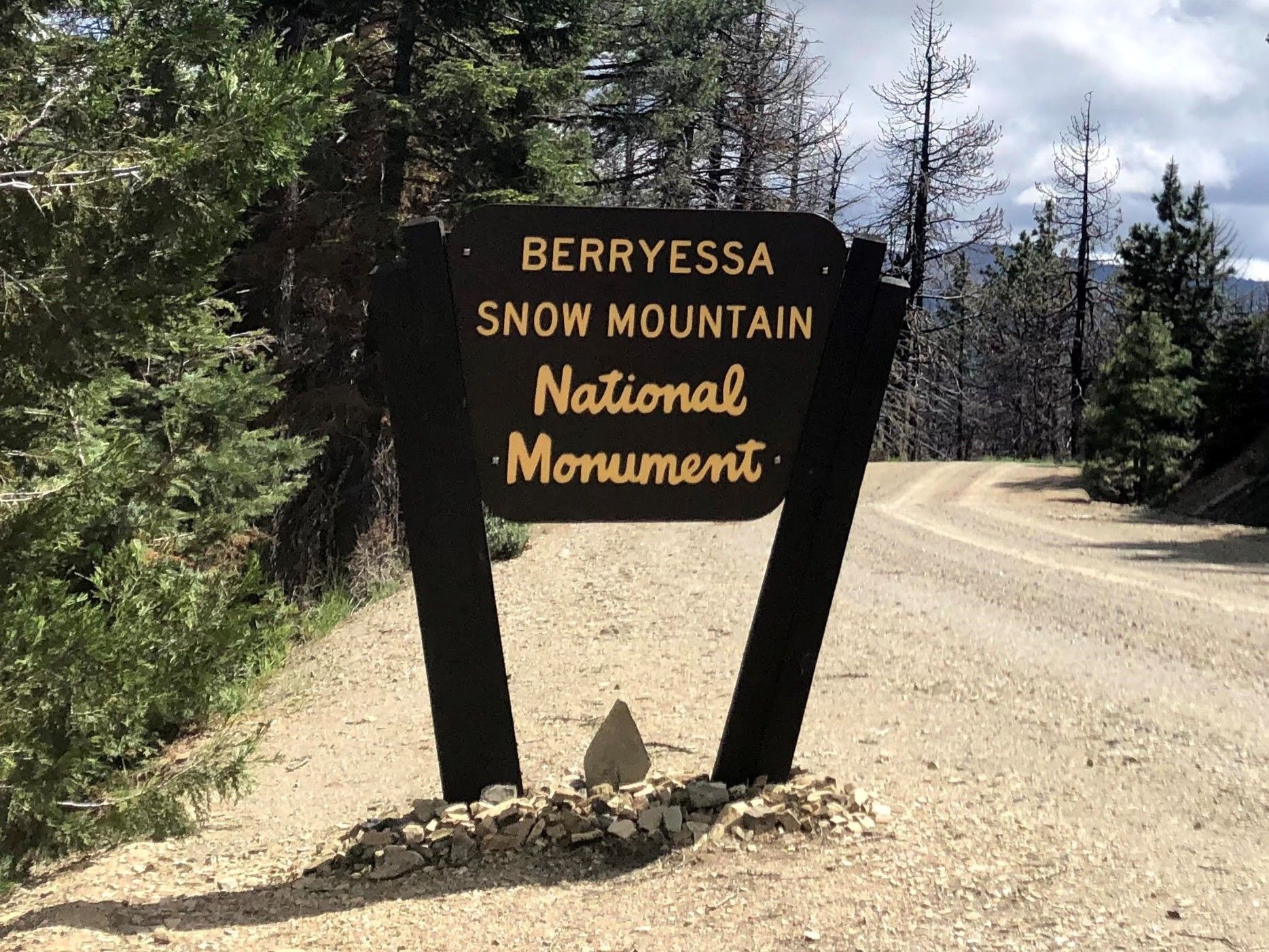
If you’re a friend of Tuleyome you likely know a bit about our (it belongs to all of us) newly expanded favorite National Monument - the Berryessa Snow Mountain National Monument. You may also recognize that federal public lands are lands that are owned and/or managed by the United States federal government for the enjoyment of its citizens. And, you probably know that in addition to national monuments there are also national parks, national forests and national historic places but did you know that there are many more public land designations as well?!
There are many (MANY!) different types of federal public lands. Most of them are held for conservation, resource management and public recreation. The United States Department of the Interior (DOI) oversees several federal agencies that manage various public land designations and the United States Department of Agriculture (USDA) oversees other agencies that steward public lands. Federal public lands in the United States, District of Columbia and US territories total approximately 640 million acres and occupy nearly 30% of the land area.
The National Park Service is an agency within the DOI and oversees not only national parks but also most national monuments and other natural, historical and recreational properties with various title designations or units. These include national preserves, national lakeshores and seashores, national rivers and wild and scenic rivers and national scenic and historic trails, among others. Today The National Park Service currently manages 433 combined parks/units including 63 national parks, 87 national monuments, 75 national historic sites, 64 national historic sites and many other designations totaling 85 million acres in all 50 states, the District of Columbia and US territories. Their management focus is preserving the ecological and historical integrity of these special places for public use and enjoyment.
The Bureau of Land Management (BLM) is a federal agency also under the direction of the DOI. The BLM’s mission is “to sustain the health, diversity and productivity of public lands for the use and enjoyment of present and future generations.” We here at Tuleyome think that’s pretty dang good and we often partner with them on varying components of public land use and enjoyment. The BLM is responsible for the management of a substantial portion of the nation’s public lands including some of our most historic and scenic landscapes and natural resources for all to enjoy.
The United States Fish and Wildlife Service (USFWS) is another agency operated under the DOI and is the oldest conservation agency in the United States. It was established in 1871 to help monitor the country’s game fish populations. Today the USFWS manages our nation’s wildlife refuges to conserve the habitat, plants and wildlife found there. The national wildlife refuge system began with Pelican Island in 1903 and today there are over 560 refuges across the country. It’s been said that if “national parks are America’s best idea, national wildlife refuges are America’s best-kept secret”. Although, they don’t seem like a very stealthy secret since they receive over 50 million visitors a year!
The United States Forest Service (USFS) was established in 1905 and is an agency under the USDA. It is the United States’ predominant forestry agency leading the world in sustainable forest and grassland use, management and stewardship, research and conservation. Today they are responsible for the management of 154 national forests and surrounding areas that total nearly 200 million acres in 43 states, the Virgin Islands and Puerto Rico. The agency also provides stewardship assistance to tribal, state and local governments, private landowners and corporations to improve conditions on about 900 million acres of forests in the U.S.
Fun fact - Yellowstone was the United States’ first national park established in 1872. But, at the time Wyoming was still a U.S. territory so Yellowstone was managed by the federal government using the Army and the African American Buffalo Soldiers.
Fun fact - the designation National Monument has been given to many different sites ranging from natural reserves, historic military scenes, prehistoric ruins, fossil sites AND to the Statue of Liberty.
Fun fact - there is at least one national wildlife refuge in every US state and territory.
Fun fact - The Forest Service obviously manages forests but did you know that they also manage grasslands?
Did you know… that the Berryessa Snow Mountain National Monument is jointly managed by both the BLM and the USFS, not the National Park Service!?
Whether you’re exploring places where you won’t find a motorized vehicle or places where you might not find a parking spot, you can bet there is at least one type of federal public land just a hop, skip and a jump from you!
The numerous designations within the National Park System sometimes confuse visitors. The names are created in the Congressional legislation authorizing the sites or by the president, who proclaims "national monuments" under the Antiquities Act of 1906. Many names are descriptive—lakeshores, seashores, battlefields—but others cannot be neatly categorized because of the diversity of resources within them. In 1970, Congress elaborated on the 1916 National Park Service Organic Act, saying all units of the system have equal legal standing in a national system.
National Park
These are generally large natural places having a wide variety of attributes, at times including significant historic assets. Hunting, mining and consumptive activities are not authorized.
National Monument
The Antiquities Act of 1906 authorized the President to declare by public proclamation landmarks, structures, and other objects of historic or scientific interest situated on lands owned or controlled by the government to be national monuments.
National Preserve
National preserves are areas having characteristics associated with national parks, but in which Congress has permitted continued public hunting, trapping, oil/gas exploration and extraction. Many existing national preserves, without sport hunting, would qualify for national park designation.
National Historic Site
Usually, a national historic site contains a single historical feature that was directly associated with its subject. Derived from the Historic Sites Act of 1935, a number of historic sites were established by secretaries of the Interior, but most have been authorized by acts of Congress.
National Historical Park
This designation generally applies to historic parks that extend beyond single properties or buildings.
National Memorial
A national memorial is commemorative of a historic person or episode; it need not occupy a site historically connected with its subject.
National Battlefield
This general title includes national battlefield, national battlefield park, national battlefield site, and national military park. In 1958, an NPS committee recommended national battlefield as the single title for all such park lands.
National Cemetery
There are presently 14 national cemeteries in the National Park System, all of which are administered in conjunction with an associated unit and are not accounted for separately.
National Recreation Area
Twelve NRAs in the system are centered on large reservoirs and emphasize water-based recreation. Five other NRAs are located near major population centers. Such urban parks combine scarce open spaces with the preservation of significant historic resources and important natural areas in location that can provide outdoor recreation for large numbers of people.
National Seashore
Ten national seashores have been established on the Atlantic, Gulf and Pacific coasts; some are developed and some relatively primitive. Hunting is allowed at many of these sites.
National Lakeshore
National lakeshores, all on the Great Lakes, closely parallel the seashores in character and use.
National River
There are several variations to this category: national river and recreation area, national scenic river, wild river, etc. The first was authorized in 1964 and others were established following passage of the Wild and Scenic Rivers Act of 1968.
National Parkway
The title parkway refers to a roadway and the parkland paralleling the roadway. All were intended for scenic motoring along a protected corridor and often connect cultural sites.
National Trail
National scenic trails and national historic trails are the titles given to these linear parklands (over 3,600 miles) authorized under the National Trails System Act of 1968.
Affiliated Areas
In an Act of August 18, 1970, the National Park System was defined in law as, "any area of land and water now or hereafter administered by the Secretary of the Interior through the National Park Service for park, monument, historic, parkway, recreational or other purposes." The Affiliated Areas comprise a variety of locations in the United States and Canada that preserve significant properties outside the National Park System. Some of these have been recognized by Acts of Congress, others have been designated national historic sites by the Secretary of the Interior under authority of the Historic Sites Act of 1935. All draw on technical or financial aid from the National Park Service.
Other Designations
Some units of the National Park System bear unique titles or combinations of titles, like the White House and Prince William Forest Park.
Types of federal public lands
- National Parks: Managed by the National Park Service (NPS), these lands are preserved for their natural and cultural resources for future generations to enjoy.
- National Forests and Grasslands: Managed by the U.S. Forest Service (USFS), these areas are used for multiple purposes, including timber, recreation, and wildlife management.
- National Wildlife Refuges: Managed by the U.S. Fish and Wildlife Service (USFWS), these lands are primarily for the conservation of fish, wildlife, and plants, but many also allow compatible wildlife-dependent recreation like hunting and fishing.
- National Conservation Lands: These are public lands designated for their conservation value and are managed by the Bureau of Land Management (BLM). The BLM manages more public land acreage than any other agency.
Management and use
- Management: Federal lands are managed by various agencies, with the U.S. Forest Service (Department of Agriculture) and the Bureau of Land Management, the National Park Service, and the U.S. Fish and Wildlife Service (all under the Department of the Interior) being the primary ones.
- Resource Extraction: Some federal lands are available for resource extraction like oil, gas, and mining, which can be a source of controversy and debate over conservation versus extraction.
- Recreation: The lands offer a wide range of recreational opportunities, such as hiking, camping, wildlife viewing, hunting, and fishing.
- Information: You can find information about specific public lands, including maps and regulations, on the official websites of the managing agencies.
RECENT ARTICLES


