Enjoying Outside - Safe Summer Hiking

Kristie Ehrhardt • September 11, 2025

Technology and fast-paced living are part of our everyday world, but spending time in nature can help neutralize the tension and flurry that has become commonplace for us. Heading outdoors, even during the heat of summer, is not only possible but with a little preparation it can be safe, enjoyable, and fulfilling. Although the summer is coming to a close, temperatures can still be high. Here are some tips to stay safe while hiking in high temperatures.


Keep an eye on the weather.

We are all painfully aware that our region gets HOT during the summer months and although the forecast doesn’t really change all that much, in certain areas it can fluctuate more than at your house so keeping an eye on the weather where you’re headed is important.

Head out early to take full advantage of the cooler morning hours. Being at the trailhead at sunrise not only avoids some of the heat of the day, but it will likely also avoid crowded parking situations and traffic jams on the trail.


Some areas in our region may experience more wind than others and when the wind is from the north it is typically hot and dry which can rapidly increase the risk of dehydration while hiking. Along with the gusty north winds come “fire weather” which is often indicated by a Red Flag Warning, meaning that there is an increased risk for fire danger because of high temperatures, low humidity and strong winds. If you smell smoke while you’re hiking, it's always best to immediately evacuate the area. Failing to leave not only puts you at risk, but it also puts emergency personnel that may have to come to your aid at risk as well. 


Stay hydrated and fuel up

Carry and drink plenty of water during your hike, in fact, bring more than you think you’ll need. A good rule of thumb is to drink a half to a full liter of water every hour depending on the temperature and your level of exertion. Be sure to drink often, sipping water helps you maintain hydration much better than chugging a bunch of water once or twice during your hike. You’ll feel a lot better too. If you get distracted by the scenery and forget to sip, set a timer to remind you to take a drink about every 20 minutes. If it’s really hot or you’ll be working really hard, pre-hydrate. Drink about 16 ounces of water two hours before you hit the trail.


Remember to bring some snacks even if you’re not planning on being out on the trail all day. Finding the perfect spot to sit and journal or sketch for a while, unexpected difficult terrain or even possibly an injury or getting lost can keep you out on the trail longer than expected and having extra food with you not only keeps your energy up but also your morale. Perspiring causes your body to lose not only water but also electrolytes so packing snacks with a little extra sodium and potassium can also help keep you happy and feeling well. A quick way to replenish electrolytes is to drink a sports or recovery drink.


Know your limits

Pay attention to your body and any aches and pains you may be experiencing. Consider fatigue, strained muscles, a cranky ankle or even blisters and how those will make you feel if you continue hiking. The trek out may be downhill, but it’ll be hotter than when you started. Turn back or head out before your water supply is half gone and don’t hike beyond your ability.


Hiking is more fun with company. Having others with you to share the joy and experiences of the day is fabulous but having friends with you also lets you check on one another and, if necessary, help with important decisions should there be an injury or a need to call for help. Tuleyome, the Sierra Club and other “meet up” groups often offer group hikes where you can learn the terrain and meet fellow hikers. 


Make a Plan and Be Prepared

Check the weather forecast and trail conditions before you go and bring appropriate clothing. Be sure to let someone know where you are heading and about how long you expect to be gone, especially if you are hiking alone. There’s a good possibility that your cell phone may not have service on the trail so attaching a whistle to your pack should you need to call for help is a smart idea. Stay on the trail to help avoid things like poison oak and ticks and keep in mind that snakes may also be out enjoying the day. If you encounter one, please just allow it to pass, it doesn’t want to engage with you either. Wear sunglasses and a wide brimmed hat or get a backpack umbrella to attach to your pack to ensure that you’ll always have shade. Sunscreen is an absolute must and should be reapplied often, especially after swimming or excessive sweating.


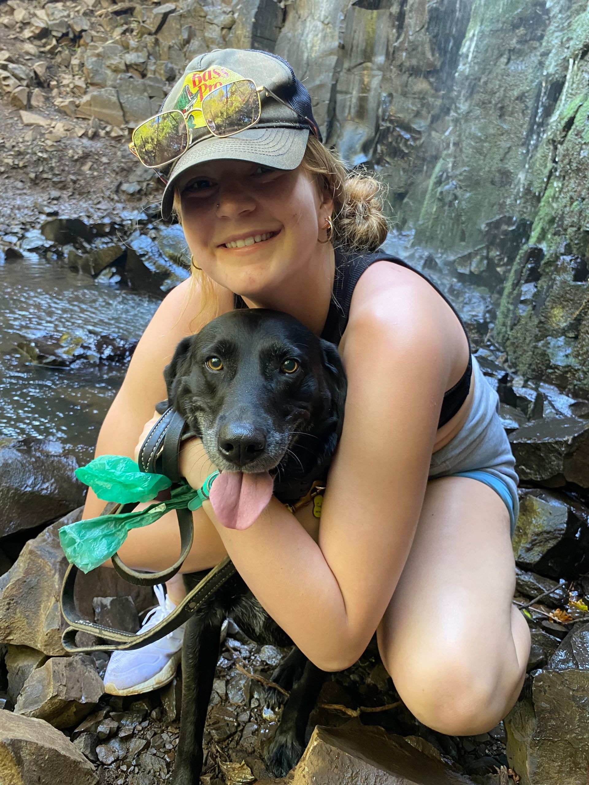
Getting a sunburn is not only miserable and risky, but it can also add to the risk of dehydration. Some essential items to pack include a headlamp or flashlight, a knife or multipurpose tool, and a first aid kit that includes duct tape and super glue. Bonus points for taking a first aid course before hiking season, especially if you like to hike alone. If you’re hiking with your canine pal, please be sure to take notice of their physical ability and demeanor. Dogs heat up and cool down differently than people and outdoor activity during the heat of the day can be extremely uncomfortable or even dangerous for them. Heatstroke can be life threatening to a dog and breaks with extra water and shade are essential for them; don’t base their health level on how you’re feeling.


Hiking can be done safely in our region any time of year. Some forethought and precautions can help avoid unnecessary calls to our first responders and help you enjoy the outdoors.

And as always - if you pack it in, pack it out!

-Kristie Ehrhardt (kehrhardt@tuleyome.org)

Tuleyome Land Conservation Program Manager

RECENT ARTICLES

By Bryan Pride February 11, 2026
In 2020, Governor Newsom committed California to an ambitious goal: conserve 30% of our lands and coastal waters by 2030. This “30x30” initiative isn’t just about setting aside more protected areas; it’s a comprehensive strategy to protect biodiversity, expand equitable access to nature, and build resilience to climate change across California’s diverse landscapes and waters. California has made meaningful progress towards the 30x30 goal. Currently, 24.4% of our lands and 16.2% of coastal waters meet the 30x30 conservation criteria, defined as areas that are durably protected and managed to sustain functional ecosystems and the diversity of life they support. But with less than five years remaining, we still need to conserve millions of additional acres to reach this critical goal. The Power In Nature Coalition No single organization can achieve 30x30 alone. That’s why Tuleyome is a proud member of the Power In Nature Coalition; a network made powerful by the collective work of over 250 community groups, conservation organizations, land trusts, and Indigenous organizations working together to conserve and protect the diverse landscapes of California. This statewide network coordinates advocacy, identifies priority conservation projects , and ensures that 30x30 implementation protects biodiversity, fosters meaningful relationships, and partners with state agencies and diverse communities. Power In Nature works on multiple fronts: defending conservation funding in state budgets, identifying potential 30x30 projects across California, and advocating for policies that support rather than undermine conservation progress. Power In Nature has multiple regional groups to elevate geographical priorities and empower local organizations to connect state-level policy to on-the-ground conservation work in their communities. Tuleyome’s Role in Advancing 30x30 At Tuleyome, our work protecting the Berryessa Snow Mountain National Monument directly contributes to California’s 30x30 goals. We’re actively engaged with Power In Nature’s Sacramento Valley regional group, as well as the Far North and Bay Area regional groups, helping coordinate conservation efforts across our region and connecting local priorities to statewide advocacy. Tuleyome has also participated in Power In Nature Advocacy Days, where we met with state elected officials to discuss policies and legislation that further or hinder the 30x30 conservation goals. How You Can Support 30x30 Whether you’re a landowner, community member, or fellow conservation advocate, there are many ways you can support 30x30 progress. There are multiple qualifying conservation lands that have not been added to the Conserved Areas Explorer and this is one of the many ways people can get involved to help track areas protected. If you’re interested in learning more about 30x30 activities in your region, check out the Power In Nature regional groups and sign up to attend monthly regional meetings or gain access to Power In Nature’s newsletter. Most importantly, through Power In Nature, you can make your voice heard by participating in local advocacy days or contacting your state legislators to encourage their support for full funding to conservation agencies and protection of environmental review processes. California’s commitment to conserve 30% of our lands and waters by 2030 is achievable, but only if we work together to make it a reality. If you have questions about how to get involved with 30x30 or Power In Nature, don’t hesitate to reach out! Bryan Pride Tuleyome Policy Director
By Kristie Ehrhardt February 11, 2026
You might already know that the Berryessa Snow Mountain National Monument (Monument) is a wonderland for birdwatchers. With a range of habitat types from aquatic, riparian, native grassland, oak woodlands, conifer forests to subalpine the range of species found in the Monument is staggering. If you prefer to break it down by county rather than habitat, western Colusa County boasts a birders paradise in Bear Valley and Lake County offers the shores of Clear Lake. Napa County showcases Quail Ridge Reserve and Lake Hennessey. Yolo County puts forth a plethora of hot spots including Putah Creek, Lake Solano, and the Cache Creek preserve which is home to Bald and Golden Eagles, Osprey and others! And, this is just a smattering of the treasure trove for bird nerds to enjoy in the nearly 345,000 publicly accessible acres of Monument. But, how do you know where and when to go to see what? Even if you’re an experienced birder, it can be overwhelming to know where and when to begin. I know people that travel to different states to check birds off of their “life list”. I also know people, some of them are those same people, that travel all over the globe to get a glimpse of a rare bird - or maybe it’s just rare to someone from Sacramento. Either way it’s enticing and rewarding to be part of a community with a common interest. There’s almost a secret code between birders. There’s definitely a code to name abbreviations and a spiffy way to keep count if you’re recording them. There’s also a way to estimate the number of birds in a flock but if you’re just wanting to sneak up on a feathered friend near or far, how do you know where to start? Try downloading the Cornell Lab eBird app. The app lets you input your own findings as well as investigate other people’s observations. You can base your search on your location or use a near or far location that you’d like to go explore. Or, you can browse by species and see exactly where to go to find them. The eBird app uses citizen science and operates similarly to the iNaturalist app, a favorite among biologists, naturalists and other interested folks. With the eBird app, you can contribute your sightings or even sound recordings to the community platform making it the largest birding community in the world. You can also create your own lists and have the app track them for you. The app not only makes birding more inclusive and interesting for individual birders but it is beneficial for the network of scientists as well. The combined data from the app helps conservationists understand how numbers of birds shift as well as aiding in developing genetic species distribution models that show where and when birds are in the region. This information helps develop and establish better conservation strategies for individual species and collective populations of birds. The app is easy, fun and rewarding for novice and veteran birders, conservationists, scientists and ultimately the birds themselves.
By Kristie Ehrhardt February 11, 2026
The Capay Valley Almond Festival has been a regional tradition since 1915. It showcases the Esparto/Capay Valley region and was originally held in the fall after the almond harvest was complete. Years later it was rescheduled to occur on the last Sunday in February to celebrate the almond trees while in blossom. The Almond Festival is the only local celebration that not only incorporates the dazzling landscape but it also honors five Capay Valley towns: Esparto, Capay, Brooks, Guinda and Rumsey. The 21-mile route along Highway 16 covers each town, offering their own unique ambiance and activities all while celebrating the almond bloom in Yolo County. You will also find local crafts, family fun, delicious food and other entertainment at each location. A bit about California’s almond history! Much like the European Starling’s initial introduction into the United States, the first attempt at almond production in California was not as glorious as anticipated. Almond trees were first planted in California as early as 1853 using European varieties that were not adapted for our climate conditions. Most of these subpar trees were either converted into other fruit trees or used for firewood. Even though the inaugural attempt wasn’t fruitful (haha, get it?), lessons were learned about cross pollination and where to plant the next go-around. Science happened and by the 1880’s other varieties were being cultivated and during the Citrus Fair in 1886, the two varieties that are still grown today were introduced. By the 1900’s cross pollination tactics advanced and were in place and our commercial production was on its way. This combined with the fact that almond trees were productive in soils that were too sandy for other fruit trees and could be prolific without the use of much artificial water, the crop finally seemed to be destined for success. During the twenty year span between the mid 1960’s and the mid 1980’s, irrigation methods advanced and became more available to land in the San Joaquin Valley, which held ideal conditions for almond production, creating a booming industry that still remains today. In 2020, 1.25 million acres of California were in almond production. We yield 2.8 BILLION (!) pounds of almonds which provides 100% of the United States commercial supply and over 80% of the world’s demand. Almonds are in the top five most valuable California exports bringing in almost five billion dollars.