Monumental Questions - What is Snow Mountain Wilderness

Kristie Erhardt • August 9, 2024

Have you been there? Maybe you’re planning a trip or maybe you can’t wait to go back. The Snow Mountain Wilderness Area includes over 60,000 acres that straddles Colusa, Glenn and Lake Counties in the Northern Coast Range. It is one of the 806 designated Wilderness Areas established under the Wilderness Act signed into law by President Lyndon B. Johnson in 1964. The Wilderness Act established the Wilderness Preservation System, “...for the permanent good of the whole people” and is considered one of America’s greatest conservation achievements. The law requires that federal land management agencies such as the National Park Service (NPS), the Bureau of Land Management (BLM), the United States Fish and Wildlife Service (USFWS) and the United States Forest Service (USFS) manage the designated wilderness areas to preserve their individual wilderness characteristics. For a natural area to be considered for a Wilderness Area designation, it must meet stringent criteria: that it be large enough for personal solitude, possess exceptional opportunities for rudimentary and unrestrained recreation, be primarily free from human interference, and have distinct qualities that differentiate it from all other lands. Many Wilderness Areas have these qualities as well as other intangible characteristics that help develop and inspire a relationship with nature and adventure.


Today, nearly 112 million acres in the United States are designated as Wilderness Areas. These areas range in size from the nine million acre Wrangell-St. Elias Wilderness in the Alaskan tundra that supports grizzly bears, caribou, wolves, Dall sheep and wolverines to the three acre Pelican Island Wilderness in Northern Florida which supports threatened and endangered species such as green sea turtle, Florida manatee and wood stork.


The Snow Mountain Wilderness was established in 1984 and totals 60,222 acres. It is within the Mendocino National Forest and is managed by the USFS. The heart of the Snow Mountain Wilderness is Snow Mountain itself. The wide-topped mountain has an East Peak with an elevation of 7,050 feet and drains water toward the Sacramento River to the east, and a West Peak with an elevation of 7,021 feet and drains into the Eel River basin to the west. The mountain also supports the largest waterfall in the Mendocino National Forest. Because of the contrasting elevations within the area, the unique geology of the region, and the montage of ecosystems, Snow Mountain is often considered a biological sky-island.


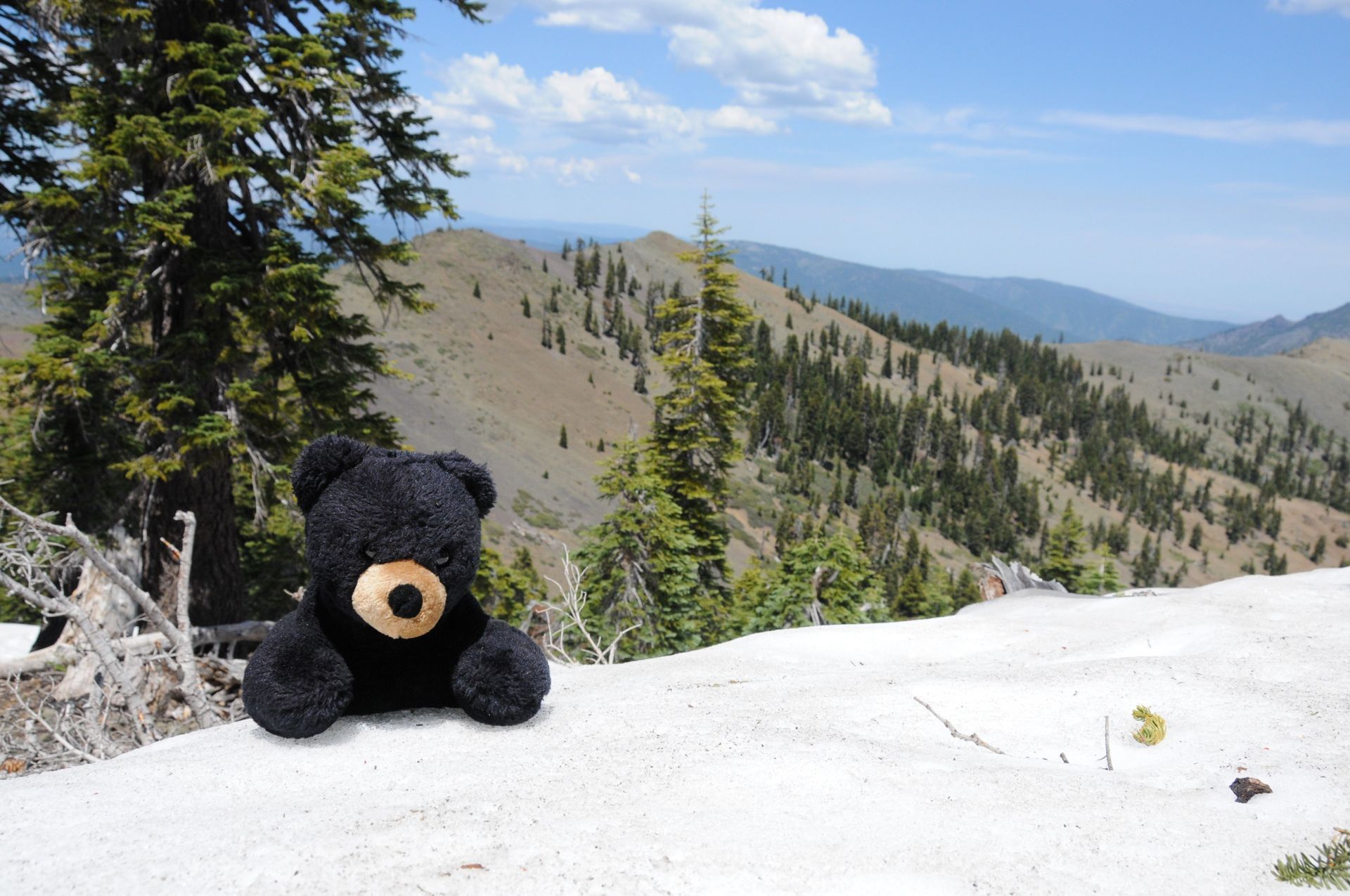
The entire 60,000+ acres of wilderness bears only about 40 miles of trails leaving the remainder of the area extremely remote and untraveled. Hiking the East Peak will give visitors a stunning view of the Sierra Nevada, Clear Lake, the Sacramento Valley and the surrounding Mendocino National Forest.


The geology of the Snow Mountain Wilderness (and the entire Berryessa Snow Mountain National Monument) is fascinating. The Snow Mountain region formed during the time of the dinosaurs (Mesozoic era) and is made up mostly of sandstone, shale and chert. As Snow Mountain was being reared, the layers of rocks got pushed, twisted and distorted resulting in the lower elevations surrounding the mountain still being sedimentary rocks while the upper portion of the mountain is primarily made up of greenstone. Serpentine is also present which may be a remnant of the ocean crust as the mountain was pushed upward. The slopes on the north side of the area were covered by glaciers resulting in small meadows which remain today. 


The vegetation in the lower elevations of the area include grasslands with a stunning array of wildflowers following years with abundant rainfall, dense chaparral and blue oak woodland. Moving up in elevation, the vegetation community transitions into black oak and mixed conifer forest and higher in elevation you’ll find thick stands of true fir, Jeffrey pine and incense cedar interspersed with rocky outcrops.


Because it is so remote, camping is primitive, and there is no reliable source of water during most of the summer. Streams may not be safe for drinking so planning ahead is crucial and be sure to boil or filter all water collected before drinking it. Individual use permits are not required within the Mendocino National Forest however USFS recommends signing in at the trailhead. Because of the rugged terrain and remote location, be sure to check in at the ranger station for the current weather and forest conditions and restrictions prior to venturing out and tell others where you’re heading and when you expect to return. Maximum group size is 25 people or stock animals in the Snow Mountain Wilderness. To maintain wilderness characteristics, only travel by foot or horseback is allowed; no motorized or mechanical equipment is allowed within a wilderness area, wheelchairs are allowed. You are required to obtain a California Campfire permit if your plans include the use of any stove or building a campfire within a wilderness area. Permits are free of change and can be obtained at the USFS or BLM offices or from the California Department of Forestry and Fire Protection.


Thanks to the Wilderness Act and the National Wilderness Preservation System, the Snow Mountain Wilderness is part of the nearly 175 million square miles of federal public land that is protected for the solace and enjoyment of current and future generations of humans and wildlife equally.


“The purpose of the Wilderness Area is to preserve the wilderness character of the areas to be included in the Wilderness System, not to establish any particular use.”

           -Howard Zahniser (1906-1964) Executive Director of the Wilderness Society and primary author of the Wilderness Act

RECENT ARTICLES

June 5, 2025
We extend our thanks and gratitude to Stephen McCord as he ends his tenure on the Tuleyome Board of Directors. Stephen has applied his energy and expertise to fulfilling Tuleyome’s mission for many years. In 2016 he managed the first Tuleyome mercury mine remediation project at the Corona/Twin Peaks Mine. He followed that with work on Tuleyome trail projects in the Knoxville Off-Highway Vehicle Area, riding all the trails on his own adventure motorcycle. As a Tuleyome representative, he’s taken many community members on hikes in Berryessa Snow Mountain National Monument and the surrounding areas. Stephen has over 20 years of environmental engineering experience, in California and worldwide. He has overseen extensive projects in water quality field work, management and cleanup, and has applied his knowledge to policy development, analysis and technical support. In short, Stephen is a consummate environmental and water engineer, and he brought his expertise to Tuleyome’s many projects. In 2023 Stephen joined the Board of Directors and agreed to serve as President. He applied his supreme organizational skills to managing board duties and activities. He also brought an optimism to the board about what can be accomplished with foresight, good planning and collaboration. Stephen has been a tireless advocate for Tuleyome, keeping the board on task even while handling numerous other professional responsibilities. Fortunately, although he is stepping down from the board, he will continue to support Tuleyome’s mission in many other ways. -Kim Longworth, Lyndsay Dawkins and Bill Grabert Volunteer Tuleyome Board members 
By Geoff Benn June 5, 2025
A river otter making its way up the slide. Looking to take a break with some cute video content? This month we placed game cameras looking into an otter slide at Conaway Ranch. Otter slides are paths worn into riverbanks by repeated use by otters and other animals. The slides at Conaway are quite active, so we’ve been able to get some great footage, including otters, beavers, racoons, snakes, and more! 
By Bryan Pride June 5, 2025
Since April 2024, America's public lands had something they'd never had before: a rule that treated conservation as equal to all other land uses. The Public Lands Rule , introduced by the Biden Administration, formally recognized conservation as a legitimate practice of multiple use, putting conservation on equal footing with recreation, grazing, and resource extraction. Built on decades of management experience and guided by science, data, and Indigenous knowledge, it gives land managers tools to maintain healthy ecosystems while supporting all the diverse ways we depend on public lands. It acknowledges a simple truth: conservation must be valued equally to all other land uses. Now there is growing pressure to rescind it. Why This Matters The environment around us is free-flowing, it's not confined to state borders or county lines. When mining operations contaminate watersheds in Northern California, it impacts the local businesses who depend on healthy rivers downstream, the agricultural communities that rely on clean water, and the families who've been camping along those waterways for generations. The Public Lands Rule recognized this interconnected reality and gave land managers agency to address problems before they spread across California's diverse landscapes, protecting the long-term viability of grazing allotments, recreation areas, and rural livelihoods that all depend on healthy public lands. This interconnected reality is exactly why the Public Lands Rule matters. The Rule is designed to ensure that the places we depend on, whether for weekend camping trips, or cattle grazing, stay healthy enough to support these uses long-term. When an area becomes overgrazed and doesn't recover, access to those grazing allotments is permanently lost, reducing ranchers' ability to maintain their livelihoods and harming local food production. Poor use or overuse of our public lands creates ripples of negative impact that hurt all communities. The Rule's main objective is simple but revolutionary: make sure our public lands stay productive for everyone who depends on them, rather than degrade them. The Rule created practical tools that built in accountability and prioritized future generations' access to healthy public lands. Restoration Leases : 10-year agreements allowing a variety of entities such as, conservation groups, tribes, and nonprofits to restore damaged landscapes—fires restoration, restoring wildlife habitats and cleaning up abandoned mining sites that currently scar some of our most beautiful public lands. Mitigation Leases : A tool that allows land users or other entities to offset impacts from their activities over specified time periods, creating partnerships between different land users and conservation groups to address environmental impacts on public lands. Strengthened Protection for Critical Areas : Clearer guidelines for protecting Areas of Critical Environmental Concern—the most special and fragile places that often provide the best wildlife viewing, the cleanest water sources, the most pristine camping experiences and the richest biodiversity. The False Dichotomy: Multiple Use vs. Conservation The main argument being used to encourage the rollback of the Public Lands Rule is " multiple use ", the legal principle requiring Bureau of Land Management (BLM) lands to serve many different purposes. The current Administration claims the Public Lands Rule hinders multiple uses of public lands. Why? The Rule calls for restoring degraded areas and making science based decisions. Contrary to their actual meaning, the current Administration interprets "restoring" and "science based decisions" as "locking up land". Land locking, where access gets completely cut off, is a real concern in some areas—it prevents both recreation and grazing. However, land locking is not what the Public Lands Rule promotes. In reality, it is promoting land healing. Take grazing for example. The Rule empowers BLM to use restoration leases in conjunction with existing grazing permittees to restore degraded rangeland. Monitoring who is grazing where and the number of permits issued for specific areas is a means to ensure sustainable grazing and prevent overuse. Many ranchers and land managers supported the Rule because they understand that healthy land is productive land. Overgrazing and environmental damage hurt their livelihoods too. The same principle applies to fire recovery. When public lands are damaged by sweeping wildfires, there is a need for active restoration: replanting native vegetation, stabilizing soils, removing hazardous debris. Restoration has to take place before safe recreation, grazing and other uses can resume. At times, restoration requires temporarily limiting access to burned areas as they recover. The goal is to allow for our lands to recover and heal before we start depending on them again with our multiple uses. Land restoration is not just limited to grazing or extraction; it is essential for recovering from wildfires. Whether it's grazing, recreation, or extraction, the Public Lands Rule isn't about stopping these uses, it's about understanding that healthy ecosystems are prerequisites for multiple use, not obstacles to it. You can't have sustainable grazing on degraded rangeland, quality recreation in fire damaged landscapes, or responsible extraction without considering long-term impacts We Are Public Stewards The Public Lands Rule represents a historic shift in how we value conservation, its potential rollback is a setback. But the vision it represents, conservation as a form of legitimate multiple use, remains essential and is not gone. As stewards of these 245 million acres, we have the power to practice conservation in our own actions and advocacy. Every time we practice Leave No Trace, support local businesses that operate responsibly on public lands, and make our voices heard in land management decisions, we're building the foundation for balanced stewardship that benefits everyone. Our public lands belong to all of us, which means we each have the power, and responsibility, to be good stewards of the lands we love. -Bryan Pride ( bpride@tuleyome.org ) Certified California Naturalist Policy Director