Tuleyome's Science Corner - Habitat Types at the Woodland Regional Park Preserve

Kristie Ehrhardt • March 22, 2023

What was once a literal dump, has been transformed into a regional treasure under the guidance of Tuleyome and the City of Woodland. With support and input from stakeholders, educators and other local non-profits, the 165-acre Woodland Regional Park Preserve (WRPP), which previously hosted the City of Woodland refuse disposal site, has been remolded into a living classroom boasting a variety of habitat types found less and less frequently in our urban environment.


The upland grassland habitat occurs on the northern portion of the site. Topographically speaking, this is the highest portions of the site and supports native and non-native grasses and forbs as well as some trees. Wildlife species such as coyotes and upland birds have been documented in the upland habitat areas. The only water this portion of the site receives is rain water so is typically brown and dry in the hot summer months but green and alive with plants and wildlife during the wetter portions of the year. This area provides dry places for denning and foraging as well as nesting opportunities for ground nesting birds.


The riparian forests of California are sometimes called the “rain forests of California” because of the huge diversity they support. The riparian habitat onsite at WRPP occurs adjacent to the seasonal and perennial wetlands and along connecting drainages. Typical species found here include Fremont cottonwood (Populus fremontii), valley oak (Quercus lobata) and willow (Salix spp.) species along with California buckeye (Aesculus californica), blue elderberry (Sambucus mexicana) and coyote bush (Baccharis pilularis) to form a multilayer canopy. This dense canopy provides year-round cover for many species including: great-horned (Bubo virginianus) and barn owls (Tyto alba), red-tailed hawks (Buteo jamaicensis), American crow (Corvus brachyrhynchos), western bluebirds (Sialia mexicana), tree swallows (Tachycineta bicolor), white-crowned sparrows (Zonotrichia leucophrys), common garter snake (Thamnophis sirtalis), Pacific gopher snake (Pituophis catenifer), racoon (Procyon lotor), western pond turtles (Actinemys marmorata) and many other species terrestrial and aquatic species.


Wetlands have their own ecosystems made up of hydric soils and hydrophytic plant species and are classified into types such as seasonal or permanent depending on how long they remain wet, what the soils are composed of and what type of vegetation they support. The seasonal and perennial wetlands on site at WRPP provide vital habitat for migrating waterfowl coming through the Pacific Flyway. Wetlands also produce oxygen, sequester carbon and filter toxins from the water that recharges our underground aquifer. As the name suggests, seasonal wetlands are only wet for part of the year with soils that remain waterlogged for long periods of time. The emergent vegetation that grows in seasonal wetlands is specialized for soggy soil conditions and includes cattails (Typha sp.), bull rush (Scirpus acutus), sedges (Carex sp.) and rushes (Juncus sp.). Floating vegetation such as duckweed (Lemna sp.) or water primrose (Ludwigia peploides) can also be present. Eventually they dry and become cracked basins with little to no once-lush vegetation. Perennial or permanent wetlands stay inundated year-round and typically have open water with some aquatic floating or emergent vegetation around the edges of the water where the soil transitions from ponded to waterlogged. The vegetation provides cover for fish and wildlife species that may use the open water as part of their habitat. Species observed in the open water includes various waterfowl species such as mallard duck (Anas platyrhynchos), wood duck (Aix sponsa), American coot (Fulica americana) and many other waterfowl species.


Vernal pools are specialized seasonal wetlands. They are depressions in soil that has an underlying hardpan layer and typically don’t drain well. Because the underlying soil doesn’t drain, water from rain collects in these depressions and ponds until the rainy season is over. Vernal pools provide habitat for highly specialized plants and animals; many of them are listed as special-status species. While the pools are inundated, seeds from vernal pool plant species begin to germinate and aquatic invertebrate species begin to hatch. Vernal pool invertebrate species survive the dry period, sometimes for hundreds of years, as cysts in the soil and don’t hatch unless the conditions are right for them. The word “vernal” is a Latin word that means “spring” and as the pools begin to dry down, usually beginning in the spring, many colorful rings of flowers may appear in concentric circles around the sides of the depression. Vernal pools also provide habitat for a variety of other aquatic invertebrates, amphibians are an important source of food for waterfowl and shore birds.


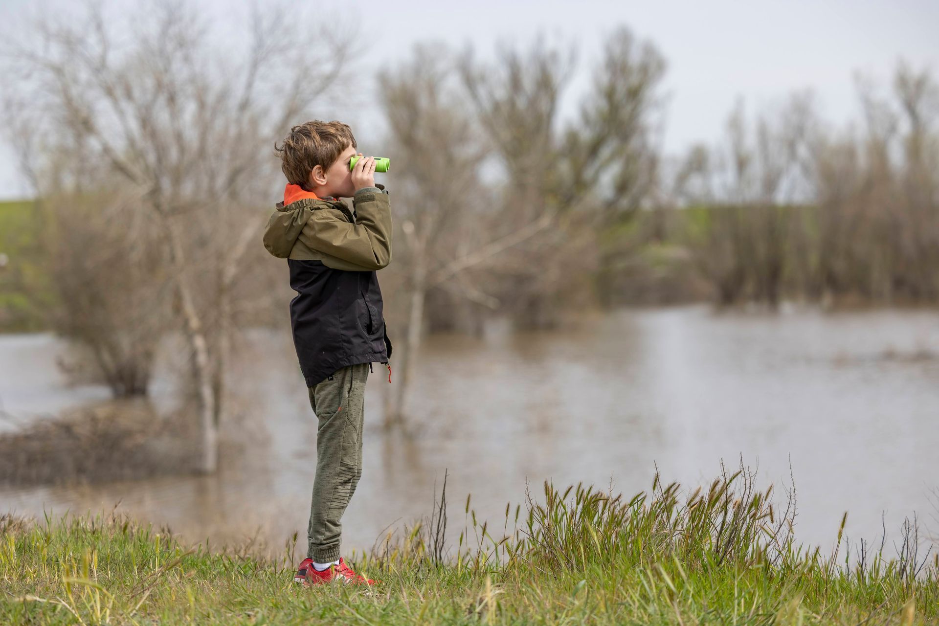
Tuleyome was able to show off the amazing ecosystems at WRPP during the Spring Thing on March 18. Visitors had the opportunity to go on guide hikes showcasing the wetlands, birds, mammals, and "wild areas" of this urban "wilderness".


If you would like to learn more about WRPP, please visit Tuleyome’s website at https://www.tuleyome.org.


-Kristie Ehrhardt (kehrhardt@tuleyome.org)


Tuleyome Land Conservation Program Manager

RECENT ARTICLES

June 5, 2025
We extend our thanks and gratitude to Stephen McCord as he ends his tenure on the Tuleyome Board of Directors. Stephen has applied his energy and expertise to fulfilling Tuleyome’s mission for many years. In 2016 he managed the first Tuleyome mercury mine remediation project at the Corona/Twin Peaks Mine. He followed that with work on Tuleyome trail projects in the Knoxville Off-Highway Vehicle Area, riding all the trails on his own adventure motorcycle. As a Tuleyome representative, he’s taken many community members on hikes in Berryessa Snow Mountain National Monument and the surrounding areas. Stephen has over 20 years of environmental engineering experience, in California and worldwide. He has overseen extensive projects in water quality field work, management and cleanup, and has applied his knowledge to policy development, analysis and technical support. In short, Stephen is a consummate environmental and water engineer, and he brought his expertise to Tuleyome’s many projects. In 2023 Stephen joined the Board of Directors and agreed to serve as President. He applied his supreme organizational skills to managing board duties and activities. He also brought an optimism to the board about what can be accomplished with foresight, good planning and collaboration. Stephen has been a tireless advocate for Tuleyome, keeping the board on task even while handling numerous other professional responsibilities. Fortunately, although he is stepping down from the board, he will continue to support Tuleyome’s mission in many other ways. -Kim Longworth, Lyndsay Dawkins and Bill Grabert Volunteer Tuleyome Board members 
By Geoff Benn June 5, 2025
A river otter making its way up the slide. Looking to take a break with some cute video content? This month we placed game cameras looking into an otter slide at Conaway Ranch. Otter slides are paths worn into riverbanks by repeated use by otters and other animals. The slides at Conaway are quite active, so we’ve been able to get some great footage, including otters, beavers, racoons, snakes, and more! 
By Bryan Pride June 5, 2025
Since April 2024, America's public lands had something they'd never had before: a rule that treated conservation as equal to all other land uses. The Public Lands Rule , introduced by the Biden Administration, formally recognized conservation as a legitimate practice of multiple use, putting conservation on equal footing with recreation, grazing, and resource extraction. Built on decades of management experience and guided by science, data, and Indigenous knowledge, it gives land managers tools to maintain healthy ecosystems while supporting all the diverse ways we depend on public lands. It acknowledges a simple truth: conservation must be valued equally to all other land uses. Now there is growing pressure to rescind it. Why This Matters The environment around us is free-flowing, it's not confined to state borders or county lines. When mining operations contaminate watersheds in Northern California, it impacts the local businesses who depend on healthy rivers downstream, the agricultural communities that rely on clean water, and the families who've been camping along those waterways for generations. The Public Lands Rule recognized this interconnected reality and gave land managers agency to address problems before they spread across California's diverse landscapes, protecting the long-term viability of grazing allotments, recreation areas, and rural livelihoods that all depend on healthy public lands. This interconnected reality is exactly why the Public Lands Rule matters. The Rule is designed to ensure that the places we depend on, whether for weekend camping trips, or cattle grazing, stay healthy enough to support these uses long-term. When an area becomes overgrazed and doesn't recover, access to those grazing allotments is permanently lost, reducing ranchers' ability to maintain their livelihoods and harming local food production. Poor use or overuse of our public lands creates ripples of negative impact that hurt all communities. The Rule's main objective is simple but revolutionary: make sure our public lands stay productive for everyone who depends on them, rather than degrade them. The Rule created practical tools that built in accountability and prioritized future generations' access to healthy public lands. Restoration Leases : 10-year agreements allowing a variety of entities such as, conservation groups, tribes, and nonprofits to restore damaged landscapes—fires restoration, restoring wildlife habitats and cleaning up abandoned mining sites that currently scar some of our most beautiful public lands. Mitigation Leases : A tool that allows land users or other entities to offset impacts from their activities over specified time periods, creating partnerships between different land users and conservation groups to address environmental impacts on public lands. Strengthened Protection for Critical Areas : Clearer guidelines for protecting Areas of Critical Environmental Concern—the most special and fragile places that often provide the best wildlife viewing, the cleanest water sources, the most pristine camping experiences and the richest biodiversity. The False Dichotomy: Multiple Use vs. Conservation The main argument being used to encourage the rollback of the Public Lands Rule is " multiple use ", the legal principle requiring Bureau of Land Management (BLM) lands to serve many different purposes. The current Administration claims the Public Lands Rule hinders multiple uses of public lands. Why? The Rule calls for restoring degraded areas and making science based decisions. Contrary to their actual meaning, the current Administration interprets "restoring" and "science based decisions" as "locking up land". Land locking, where access gets completely cut off, is a real concern in some areas—it prevents both recreation and grazing. However, land locking is not what the Public Lands Rule promotes. In reality, it is promoting land healing. Take grazing for example. The Rule empowers BLM to use restoration leases in conjunction with existing grazing permittees to restore degraded rangeland. Monitoring who is grazing where and the number of permits issued for specific areas is a means to ensure sustainable grazing and prevent overuse. Many ranchers and land managers supported the Rule because they understand that healthy land is productive land. Overgrazing and environmental damage hurt their livelihoods too. The same principle applies to fire recovery. When public lands are damaged by sweeping wildfires, there is a need for active restoration: replanting native vegetation, stabilizing soils, removing hazardous debris. Restoration has to take place before safe recreation, grazing and other uses can resume. At times, restoration requires temporarily limiting access to burned areas as they recover. The goal is to allow for our lands to recover and heal before we start depending on them again with our multiple uses. Land restoration is not just limited to grazing or extraction; it is essential for recovering from wildfires. Whether it's grazing, recreation, or extraction, the Public Lands Rule isn't about stopping these uses, it's about understanding that healthy ecosystems are prerequisites for multiple use, not obstacles to it. You can't have sustainable grazing on degraded rangeland, quality recreation in fire damaged landscapes, or responsible extraction without considering long-term impacts We Are Public Stewards The Public Lands Rule represents a historic shift in how we value conservation, its potential rollback is a setback. But the vision it represents, conservation as a form of legitimate multiple use, remains essential and is not gone. As stewards of these 245 million acres, we have the power to practice conservation in our own actions and advocacy. Every time we practice Leave No Trace, support local businesses that operate responsibly on public lands, and make our voices heard in land management decisions, we're building the foundation for balanced stewardship that benefits everyone. Our public lands belong to all of us, which means we each have the power, and responsibility, to be good stewards of the lands we love. -Bryan Pride ( bpride@tuleyome.org ) Certified California Naturalist Policy Director